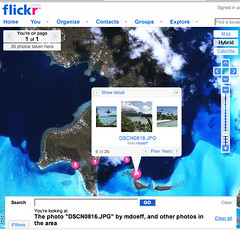
One of the only knocks against Flickr’s new geotagging service has been the lack of detailed maps for non-U.S. locations. It’s good to see that they’re making progress on expanding the maps. When I saw that they recently added maps for Bora Bora I decided to upload my honeymoon photos from 5 years ago. Check them out on a map here.
Tag Archives: maps
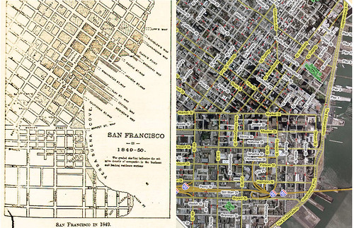
San Francisco Map – Then & Now
Notice how different the waterfront was back in 1849. Market Street runs into the water at 1st Street. The Embarcadero and the Ferry Building (built in 1898) didn’t exist yet.
Click here to see full-sized image.
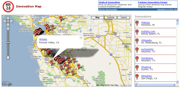
Web 2.0 Innovation Map
I came across this cool Web 2.0 Innovation Map on Google Maps Mania. Zoom into your part of the country to find Web 2.0 sites/services in your area. A couple of weeks ago, I created something similar to this on a much, much smaller scale (SF Bay Area only) on Wayfaring.

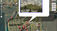
Wayfaring Map: Hills of San Francisco
My third Wayfaring Map: Hills of San Francisco


